Three Colorado River states must take big water cuts as biggest US reservoirs plunge to record lows

Three Colorado River States Must Cut Water as Reservoirs Hit Record Lows
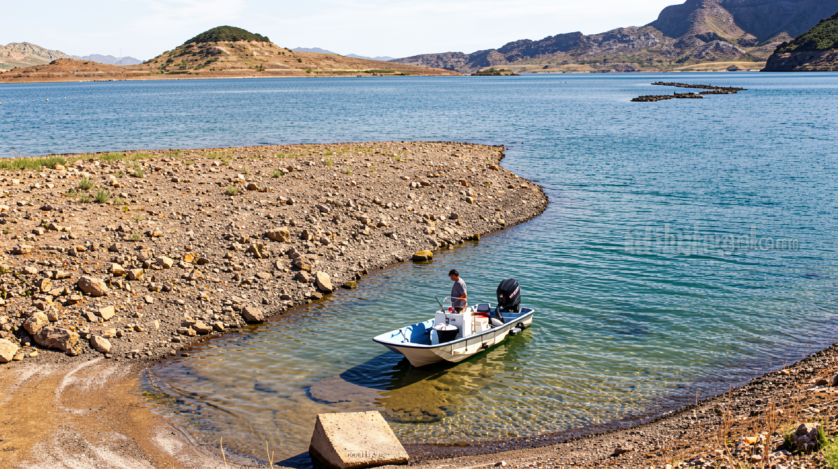
Earthguardiansonline.com – Three Colorado River states must now absorb mandatory water reductions of historic scale after both of the river’s principal storage reservoirs simultaneously fell below every recorded measurement in their operational histories. Lake Mead, the largest reservoir in the United States, dropped beneath its lowest reading since the 1930s, while Lake Powell posted a fresh record low on August 15. Hydrologists warn the combined drawdown places the system at the threshold of a “crash” — a condition in which water can no longer be released to downstream users.
The Department of the Interior responded on Friday with a two-year operating plan that compels Arizona, California, and Nevada to slash withdrawals through 2028. This is the first concrete allocation flowing from the broader ten-year framework the US Bureau of Reclamation published in July, which set a cadence of two-year negotiation cycles for future cut schedules.
How the Reductions Break Down by State
The burden falls unevenly across the lower basin. Arizona shoulders the largest cut at 760,000 acre-feet, California must shed 440,000 acre-feet, and Nevada’s allocation shrinks by 50,000 acre-feet. Upper-basin states — Utah, Colorado, Wyoming, and New Mexico — face no compulsory reductions under this cycle.
Expressed as percentages, Sarah Porter, director of the Kyl Center for Water Policy at Arizona State University, estimates the cuts equate to roughly 27% for Arizona, 10% for California, and 16% for Nevada. For Arizona residents and businesses that draw directly on Colorado River water, Porter notes the effective reduction approaches 50%.
Political and Institutional Reactions
Tom Buschatzke, director of the Arizona Department of Water Resources, described the outcome as a negotiated compromise among the three downstream states.
“It could have been draconian,” Buschatzke said. “I would like the reductions for Arizona to be zero but that’s not the reality we’re facing. It’s a pretty good outcome.”
Arizona’s two Democratic senators, Ruben Gallego and Mark Kelly, issued a joint statement endorsing the new operating guidelines, underscoring broad political acceptance of the framework within the state. Celene Hawkins, director of the Colorado River Program at the Nature Conservancy, placed the plan within a wider shift in basin governance.
“We are at a time of tremendous change in how we are managing water in this system and what that means for both communities and the river itself,” Hawkins said.
Why the 1922 Compact Can No Longer Hold
The current allocation architecture dates to the 1922 Colorado River Compact, which splits annual flow into two equal tranches of 7.5 million acre-feet — one for the upper basin, one for the lower. That division was struck when the Southwest held a small fraction of its present population, Rocky Mountain snowpacks ran deeper and more reliable, and the river carried substantially more water than today.
More than two decades of climate-change-driven megadrought, sustained warming, and escalating demand have eroded every assumption baked into that agreement. The reservoirs, once buffers against seasonal variability, now function as gauges of a structural deficit. With levels at combined record lows and no credible prospect of near-term recovery, the compact’s arithmetic no longer holds. Three Colorado River states must therefore operate under mandatory constraints that would have been unthinkable when the compact was signed.
The river remains a lifeline for approximately 40 million people across seven states and irrigates more than five million acres of agricultural land. Misallocation translates directly into municipal supply shortfalls, agricultural losses, and diminished hydropower generation from the dams that depend on reservoir elevation.
The Interior Department’s plan arrived after years of stalled negotiations among all seven basin states failed to yield a consensual deal. Lower-basin states, which have historically consumed the largest share of river water to sustain extensive agriculture and rapidly growing urban centers, had proposed voluntary reductions in recent years while pressing upper-basin states to share the burden. The new plan sidesteps that dispute by imposing mandatory cuts exclusively on the lower basin for this cycle.
Frequently Asked Questions
Which states are required to reduce water use under the new plan? Arizona, California, and Nevada — the three lower-basin states — must implement the mandatory reductions. Upper-basin states face no compulsory cuts this cycle.
How long does the operating plan remain in effect? The two-year plan covers allocations through 2028. Future adjustments will be negotiated at two-year intervals under the ten-year framework established by the Bureau of Reclamation in July.
What happens if reservoir levels continue to fall? Hydrologists describe a “crash” scenario in which water can no longer be released from the reservoirs to downstream users. Additional cut cycles would be triggered under the ten-year framework, and upper-basin states could face mandatory reductions in subsequent negotiations.
Can states appeal or renegotiate their allocations? The plan is binding for the two-year window. States may seek modifications through the next negotiation cycle, but the current allocations stand as issued by the Department of the Interior.