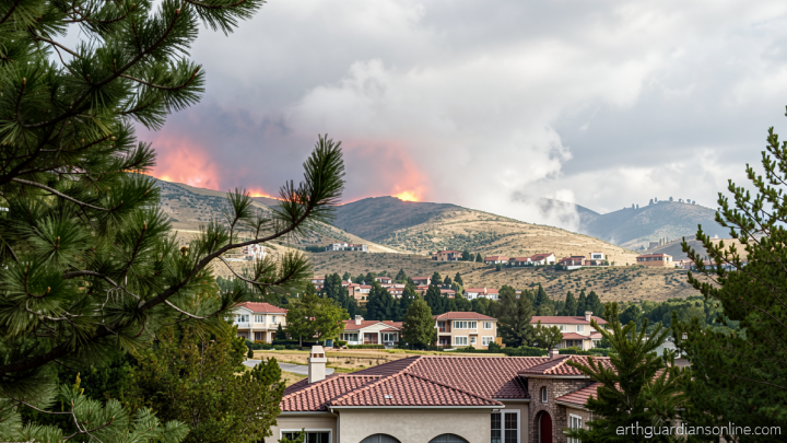
Flash flooding impacts the Northeast amid multiple rounds of storms

Daftar Isi
Repeated Downpours Push Northeast Toward a Breaking Point
Earthguardiansonline.com – What began as another ordinary Thursday afternoon in the Mid-Atlantic quickly turned into yet another chapter in a summer defined by relentless, localized deluges. Multiple successive storm systems rolled across the Northeast on August 27, 2026, dumping heavy rain onto ground that had already been saturated by weeks of above-average precipitation. The result was widespread flash flooding across New Jersey, southeastern Pennsylvania, and parts of New York City, with rescue crews scrambling to pull motorists from submerged vehicles and residents trapped in rising water.
Where the Water Hit Hardest
The most concentrated downpour fell over southwestern New Jersey, where stalled storm cells parked over the region for several hours and released between four and six inches of rain in a matter of a few hours. That volume of water, arriving on soils already at or near field capacity, overwhelmed drainage infrastructure almost instantly.
In the Glassboro corridor and adjacent Harrison Township, both in Gloucester County, emergency responders conducted what officials described as a substantial number of water rescues. Andrew Halter, a spokesperson for Gloucester County Emergency Management, characterized the operation as involving a
“large number” of water rescues.
Traveling northward toward the Newark Liberty International Airport corridor, conditions deteriorated sharply. Police in the Elizabeth, New Jersey area logged what they termed
“extreme flooding”
throughout the city and its immediate surroundings, with major arterial roads reduced to temporary waterways and commuter traffic ground to a halt.
Across the state line, southeastern Pennsylvania recorded rainfall rates approaching two inches per hour in Pottstown, roughly an hour’s drive northwest of Philadelphia. South of the city, rates exceeding one inch per hour were measured, enough to push low-lying intersections and underpasses into rapid inundation.
A Pattern That Keeps Repeating
This was not an isolated event. Throughout the summer of 2026, the Northeast corridor has experienced a near-weekly cadence of flash-flood episodes tied to slow-moving or stalled convective systems. As recently as the preceding Thursday, torrential downpours had flooded roadways across New York City and northern New Jersey while simultaneously disrupting commercial air travel through one of the busiest aviation corridors in the country. A flash-flood warning remained in effect over portions of New York City into early Thursday evening of the current event, underscoring how quickly conditions can shift from manageable to life-threatening.
The recurrence is not merely a matter of bad luck. Decades of urban expansion have paved over the permeable surfaces that once absorbed storm runoff, while aging sewer and storm-drain networks in many Mid-Atlantic municipalities were designed for rainfall intensities that today’s climate increasingly exceeds. When a stalled system parks over already-wet terrain, the margin between a heavy shower and a catastrophic flood narrows to minutes.
How the Storm Sequence Unfolded
The first wave of thunderstorms organized late Thursday morning over southeastern Pennsylvania before tracking northeastward into southern New Jersey and the New York metropolitan area. A second, independent round developed farther west, near the crest of the Appalachian Mountains, as a cold front began advancing into the Northeast out of the Ohio Valley. The interaction between that frontal boundary and the pre-existing moisture field produced the most intense rainfall rates of the day.
By near midnight, however, the systems had shed much of their convective energy. The probability of damaging wind gusts, isolated hail, and a possible tornado declined materially as the storms weakened. Nevertheless, steady rain was expected to linger well into early Friday morning, keeping flood risk elevated in areas that had already received several inches of water.
What Comes Next
A fresh round of showers and thunderstorms is forecast to develop farther east on Friday, stretching from southern New England down through portions of Delaware and Maryland. At present, forecasters do not anticipate those systems posing a major flood threat on their own. The caveat is significant: if that Friday activity overlaps with terrain still saturated from Thursday’s downpour, localized flooding could re-emerge rapidly, particularly in urbanized basins and river valleys with limited storage capacity.
For residents of the affected corridor, the practical guidance remains straightforward: avoid driving through standing water, monitor local emergency-management channels for real-time updates, and give low-lying roads and underpasses extra margin during any subsequent rain. The summer’s repeated episodes have made clear that the region’s infrastructure, built for a different rainfall regime, is being tested at its limits with increasing frequency.
Meteorologist Briana Waxman and Isa Mudannayake contributed to this report.
Related Reading
Frequently Asked Questions
What is Flash flooding impacts the Northeast amid?
Flash flooding impacts the Northeast amid is the main topic of this guide. The article explains the context, practical details, and next steps readers should understand.
Why does Flash flooding impacts the Northeast amid matter?
Flash flooding impacts the Northeast amid matters because readers are looking for a useful answer, not just a short summary. Good content should match search intent and help them decide what to do next.