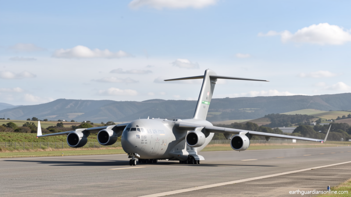
Overflowing lake adds new danger to desperate rescue efforts following China-Nepal disaster

Daftar Isi
Overflowing Lake Complicates China-Nepal Rescue
Earthguardiansonline.com – Overflowing lake adds new danger to an already harrowing search-and-rescue operation along the China-Nepal border. Authorities in both countries suspended fieldwork on Friday after a debris-dammed river—holding roughly the equivalent of 1,000 Olympic swimming pools—began spilling over its natural barrier. The water body formed Wednesday when a massive landslide and torrential rains severed the river’s course near the Gyirong border crossing, trapping millions of cubic meters of water behind a wall of rock and soil.
Rescue Teams Pulled Back from the River Corridor
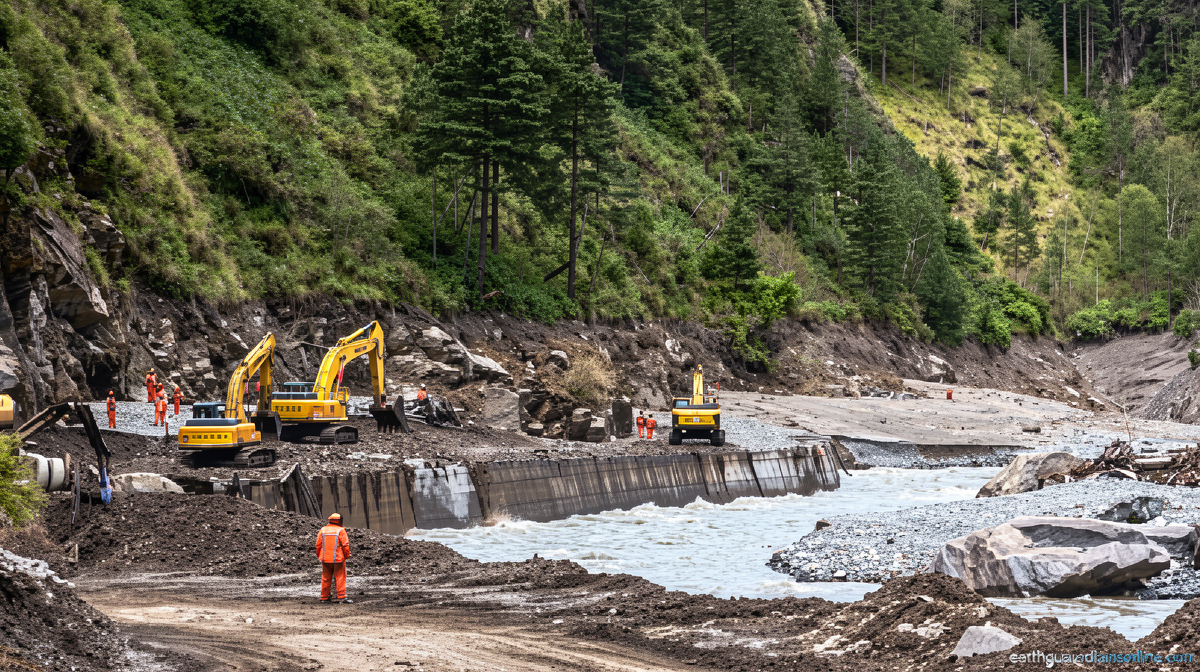
Helicopter lifts in Nepal’s flood-wrecked Rasuwa district were called off as soon as witnesses reported the dam crest starting to weep. Chinese state broadcaster CCTV confirmed late Friday morning that the overflow had become continuous, making any advance toward the hardest-hit sectors of the port “extremely dangerous.” Rescue personnel on the Chinese side were holding position at a village several kilometers short of Gyirong, where roads for kilometers had been buried under thick mud and debris since Wednesday.
A senior official in Rasuwa district verified that Beijing had shared real-time data on the rising water level. Teams dispatched upstream were tasked with continuous observation while analysts worked to adjust contingency plans for the search-and-rescue operation.
Monitoring the Barrier and Weighing Breach Scenarios
By Friday afternoon, CCTV reported the reservoir’s storage capacity had climbed past 2.5 million cubic meters. In a midnight interview, Chen Hanxiao—a member of the monitoring squad sent by China Anneng Engineering Rescue’s Lhasa base—described the barrier as roughly 150 meters long and between 40 and 50 meters high, with loose rock and soil above it.
“During the assessment operation, secondary collapses occurred several times above the barrier,” Chen told CCTV. “Safety personnel will immediately withdraw when they detect signals of significant displacement.”
The most pressing variable is ongoing rainfall, which could load additional volume behind the dam and accelerate a breach—whether gradual or sudden. Austin Lord, a senior fellow in the energy, water, and sustainability program at the Stimson Center, told CNN’s Anderson Cooper on Thursday night (ET) that experts were tracking two barrier lakes in the area. The second sits just below the fracture in the glacier that broke Wednesday and triggered the initial disaster; CNN geolocated that feature, which Chinese state media have described as an “impact crater.”
Lord cautioned that a failure of either lake would likely produce a modest flood along the same channel as Wednesday’s event rather than a repeat of that scale. “They’re growing in volume. They’re not insignificant—but they’re not to the extent that if they failed that they could trigger an event on the scale that we saw,” he said. The overriding concern, he added, is for search-and-rescue crews already operating inside the river corridor.
Frequently Asked Questions
What is a barrier lake? A barrier lake is a temporary reservoir created when landslide debris, rockfall, or glacial ice dams a river, trapping water upstream until the natural wall erodes or fails.
Why were rescue operations paused? Both Chinese and Nepali authorities halted fieldwork after the newly formed lake began overflowing continuously, raising the immediate risk of secondary flash floods or landslides in the very corridors teams needed to reach survivors.
How large is the lake? CCTV reported a storage capacity exceeding 2.5 million cubic meters—enough to fill approximately 1,000 Olympic-size swimming pools—with a barrier roughly 150 meters long and 40 to 50 meters high, situated about 10 kilometers upstream of the Gyirong border port.
What happens if the barrier breaches? Experts say a breach would most likely release water gradually or in a moderate surge along the same river path as the original Wednesday event, posing a localized flood risk to personnel working in the corridor rather than a basin-wide catastrophe.
CNN’s Fred He contributed to this report.