Rash of tornadoes tears through the Midwest, killing at least 2
Midwest Tornado Outbreak Claims Lives and Leaves Widespread Damage
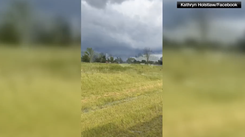
Rash of tornadoes tears through the Midwest – As of Sunday evening, a significant tornado outbreak is currently sweeping across the Midwest, with over 30 confirmed reports filed by the Storm Prediction Center. A cluster of supercell thunderstorms is moving eastward into the Ohio Valley, intensifying the threat of severe weather. This surge of activity follows another round of tornadoes that struck the region just four days prior, causing extensive destruction and uprooting buildings in multiple states.
Recent Tornadoes and Casualties
In rural Jefferson County, Illinois, located approximately 90 miles southeast of St. Louis, at least two fatalities were recorded on Sunday due to tornadoes. County Sheriff Jeff Bullard confirmed that the victims perished in separate mobile homes that were destroyed about two to three miles apart. A third residence was entirely flattened, and five individuals sustained non-life-threatening injuries. Deputy Emergency Management Coordinator Keith Hertenstein added that at least 20 homes in the county were damaged, with some residents left without electricity after trees and power lines were uprooted.
“At least two people were killed Sunday in rural Jefferson County, Illinois, around 90 miles southeast of St. Louis,” said Sheriff Jeff Bullard. “Both victims died in separate mobile homes that were destroyed about two to three miles apart.”
Meanwhile, in southern Indiana, Gibson County Sheriff Bruce Vanoven described the devastation as “completely obliterated” for several homes. The storm caused widespread damage across multiple communities before shifting eastward. Vanoven warned residents to remain indoors as crews worked to manage the active scene, noting that downed power lines and debris would be harder to spot after dark.
Storm System and Weather Patterns
The same storm system that triggered the tornadoes is also responsible for a line of thunderstorms that raked through western Oklahoma just after midnight CT on Monday morning. Wind gusts reached speeds exceeding 80 mph, prompting the National Weather Service in Norman to issue a warning: “This is a life threatening situation with tornado-like wind speeds.”
The development of Sunday’s storms was fueled by frontal boundaries leftover from earlier thunderstorms. As heat and humidity returned during the afternoon, the atmosphere rapidly recharged, transforming thunderstorms into rotating supercells capable of producing tornadoes, large hail, and damaging winds. This pattern has led to repeated rounds of severe weather over the past two weeks, with streams running high and flash flooding becoming a growing concern in the Central Plains, middle Mississippi Valley, and Ohio Valley regions.
“The storms erupted along frontal boundaries left behind by morning thunderstorms,” explained the National Weather Service. “As heat and humidity returned during the afternoon, the atmosphere rapidly recharged, allowing thunderstorms to evolve into rotating supercells.”
Upcoming Weather Threats
The same weather system is anticipated to reach the mid-Atlantic and Appalachian regions on Monday, escalating the risk of severe thunderstorms with a Level 2 of 5 warning in place. While the primary threat on Monday will be damaging wind gusts, the potential for one or two tornadoes remains. Heavy rain is expected to continue into Monday, with a Level 3 of 4 flood risk active in parts of the Central Plains, middle Mississippi Valley, and Ohio Valley. This precipitation, combined with already saturated ground from prior storms, increases the likelihood of flash flooding in these areas.
“Heavy rain poses an additional threat Sunday night into Monday,” said the National Weather Service. “A Level 3 of 4 risk of flooding rain is in place for parts of the Central Plains, middle Mississippi Valley, and Ohio Valley.”
Residents in neighboring Warrick County, Indiana, also faced severe consequences as the storm tore through a retirement community. Sheriff Mike Wilder reported that two roofs collapsed at the Park Place Apartments, trapping a woman who was later rescued by emergency personnel. The woman and two others sustained minor injuries but declined treatment at the scene.
These consecutive rounds of tornadoes have created a challenging environment for recovery efforts. In Jefferson County, the damage to mobile homes and residential properties highlights the vulnerability of structures in the region. Emergency crews are working tirelessly to assess the situation, with ongoing reports of power outages and downed trees disrupting daily life. The National Weather Service continues to monitor the system, emphasizing the importance of preparedness as the storm moves further east.
Community Impact and Safety Measures
Local officials are urging residents to stay alert and take precautions. In Gibson County, Vanoven emphasized the need for caution during the night, as debris and power lines become more hazardous under low-light conditions. Similarly, in Warrick County, Wilder highlighted the urgency of securing homes and avoiding areas with structural damage. The coordinated response from emergency services underscores the scale of the crisis, with multiple agencies working to ensure safety and provide aid to affected communities.
Although no injuries had been reported as of Sunday evening, the potential for additional casualties remains high. The severity of the weather system, coupled with its prolonged activity, has placed residents in a precarious position. Flooding rain, damaged infrastructure, and unpredictable wind patterns contribute to the ongoing risk. As the storm system continues its journey, the impact on the Midwest is expected to persist, with further updates anticipated in the coming hours.
This report is still under development and will be updated as new information becomes available. CNN’s Amanda Musa contributed to this coverage, ensuring the latest details reach the public. The sequence of events, from the initial tornado reports to the broader weather system’s movement, illustrates the complex interplay of atmospheric conditions that can lead to catastrophic outcomes. The region’s residents, now bracing for more storms, are reminded of the importance of vigilance and community support in the face of such natural disasters.
With the atmosphere showing no signs of stabilizing, experts predict that the Midwest will remain under threat for the foreseeable future. The combination of ongoing thunderstorms, high humidity, and rising temperatures creates a volatile environment. As the storm system shifts, it will bring additional challenges to areas already struggling with recovery. The National Weather Service and local authorities are closely tracking developments, ready to issue updated warnings and coordinate emergency responses.
The rapid succession of tornadoes has drawn attention to the region’s susceptibility to extreme weather events. While the exact cause of the outbreaks remains under investigation, climate patterns and seasonal shifts are often cited as contributing factors. The current situation serves as a reminder of the unpredictable nature of severe weather and the need for continuous monitoring. Residents are advised to remain informed and prepared, as the storms may continue to affect the area for days to come.
