
Tropical Depression Two forms in the Gulf, will bring heavy rain and coastal flooding
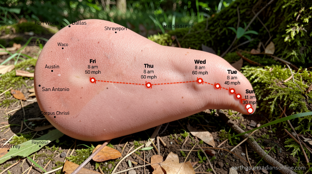
Tropical Depression Two Forms in the Gulf: What to Expect
earthguardiansonline.com – Tropical Depression Two forms in the Gulf of Mexico, bringing with it the promise of heavy rainfall and potential coastal flooding for communities along the northern and eastern Gulf Coast. The system, which has been monitoring closely by meteorologists, is expected to strengthen into Tropical Storm Bertha by tonight or Monday. As the depression moves slowly north-northwest, residents in affected areas should prepare for tropical storm-force wind gusts and rising water levels.
Rainfall and Storm Surge Predictions
Forecast models indicate widespread rainfall totals of 2 to 4 inches across the northeastern Gulf Coast, with isolated areas potentially receiving up to 8 inches during the strongest thunderstorms. The Big Bend region of Florida, stretching from Indian Pass to Chassahowitzka, faces the most significant threat from storm surge. Water levels in this area could rise 1 to 3 feet above normal, creating hazardous conditions for coastal residents and visitors alike.
Wind conditions along the coast are likely to reach tropical storm status, with gusts potentially exceeding 40 miles per hour as the system approaches land.
A Tropical Storm Watch has been officially issued for the Florida Panhandle coastline, extending from the Ochlockonee River westward to the Florida-Alabama border. This watch indicates that tropical storm conditions are possible within the next 36 to 48 hours. While the center of Tropical Depression Two will remain offshore, the associated rain bands could bring heavy precipitation and flash flooding to inland areas as the system moves onshore.
Climate Context and Future Outlook
Weak steering currents mean that Tropical Depression Two will continue its slow journey over the next couple of days, giving communities additional time to prepare. Although the system is battling some dry air, wind shear remains relatively light, allowing for possible additional strengthening as it approaches the Gulf Coast of Alabama, Mississippi, and Louisiana by midweek.
This development marks an important milestone in the Atlantic hurricane season. It has been more than a month since a named storm last appeared in the Atlantic Ocean Basin. Tropical Storm Arthur formed in mid-June and made landfall just hours later on the Texas coast near Galveston, setting the stage for what could be an active period ahead.
Looking at the broader picture, NOAA predicts a lower-than-average number of named systems in the Atlantic this season. This forecast is largely attributed to the formation and strengthening of El Niño, which typically creates conditions that suppress tropical cyclone development. However, meteorologists caution that individual storms can still develop rapidly despite these larger patterns.
Residents in the affected regions are encouraged to monitor their local weather forecasts closely and have emergency supplies ready. The combination of heavy rain, potential storm surge, and strong winds creates multiple hazards that could impact travel, outdoor activities, and coastal infrastructure in the coming days.
