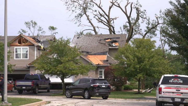
Hurricane Lowell strengthens to Category 5 as Hawaii braces for possible impacts

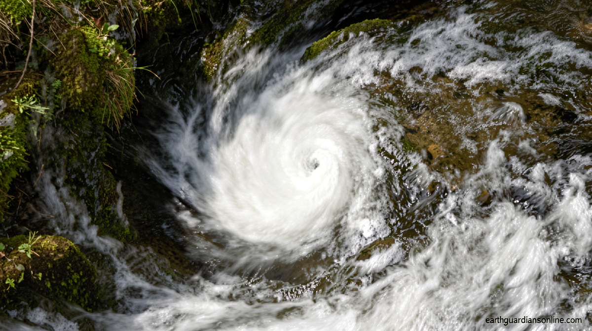
Hurricane Lowell Hits Category 5 as Hawaii Braces
Earthguardiansonline.com – Hurricane Lowell strengthens to Category 5 just as Hawaii’s western islands prepare for possible direct impacts. Governor Josh Green signed a statewide emergency proclamation Thursday, unlocking state resources and authorizing mobilization of Hawaii National Guard units to shore up response capacity before the system approaches within striking distance of Niihau and Kauai by Monday.
The storm briefly reached the top of the scale with sustained winds near 160 mph on Friday evening local time. The National Hurricane Center noted that some additional intensification is possible over the next day or so, followed by a gradual weakening trend by early next week. By the time the system reaches Hawaiian waters, forecasters project near-Category 3 strength — still powerful enough to generate extreme surf, life-threatening rip currents, and coastal inundation across the western chain.
A Track With Dangerous Uncertainty
The critical variable is lateral displacement. A shift of fewer than 100 miles east of the current forecast track would place a potentially major hurricane directly over the western islands. Even without that eastward nudge, outer bands and the broad wind field will produce dangerously rough seas, coastal flooding, and rip currents starting as early as this weekend.
The mechanism steering the storm northward is an upper-level area of low pressure positioned well above the islands. As that feature descends and interacts with the hurricane, it will effectively yank the trajectory sharply northward over the weekend. The precise timing and strength of that interaction remain uncertain, which is why forecast ensembles still span a wide corridor — from a catastrophic landfall on Kauai or Oahu to a path more than 500 miles west of Niihau that would deliver little beyond slightly elevated surf and scattered showers. Confidence in the exact track will sharpen considerably once the turn is complete.
Echoes of Iniki and a Strained Season
The projected track bears an unsettling resemblance to Hurricane Iniki of 1992, which struck Kauai as a Category 4 and remains the most destructive storm in the state’s recorded history. Governor Green drew the parallel explicitly at a Friday news conference:
“If (the storm) does what Iniki did in 1992 or even does anything close … we could see tragic consequences.”
That comparison underscores why officials are treating the threat with maximum urgency despite forecast uncertainty. The islands’ narrow topography, limited drainage capacity, and dense coastal development mean that even a near-miss can produce outsized consequences. Lowell is not an isolated event either: in mid-August, Hurricane Lala dumped multiple feet of rain on the Big Island, triggering severe flooding from Hilo to Kona, and Tropical Storm Moke followed in late August with additional rainfall to the same region. Back-to-back threats of this magnitude are rare for an archipelago that typically sees only one or two named storms per season, and they strain preparedness systems already stretched thin.
Preparations Underway
Kauai County crews have begun clearing drainage channels and pre-positioning equipment in historically flood-prone zones. At least two state parks on the island have closed their camping areas, and state land and natural resources personnel were scheduled to notify any remaining campers to vacate immediately on Friday. Six high-water vehicles have been staged on Kauai to support evacuation and rescue operations if roads become impassable. Statewide, officials have urged residents to stock at least 14 days’ worth of water, food, medications, and other essentials, reflecting the possibility that infrastructure disruptions — power outages, road closures, airport shutdowns — could persist well beyond the storm’s passage.
Frequently Asked Questions
When is the storm expected to reach Hawaiian waters? Forecasters project the system will approach within striking distance of the western islands by Monday, with outer-band effects — rough seas, rip currents, and coastal flooding — possible as early as this weekend.
What should residents do right now? Stock at least 14 days of water, food, medications, and essentials. Know your evacuation route, monitor National Hurricane Center updates, and follow local government instructions. If you are camping in a state park on Kauai, vacate immediately.
How does this compare to past Hawaii hurricanes? The projected track resembles Hurricane Iniki (1992), which struck Kauai as a Category 4 and remains the state’s most destructive storm on record. Current forecast uncertainty means the actual impact could range from a direct hit to a distant pass with only elevated surf.
Why are so many storms hitting Hawaii this season? El Niño conditions in the central and eastern Pacific suppress wind shear and warm sea-surface temperatures, creating an unusually fertile environment for hurricane development. Three consecutive weeks of tropical threats to the islands is well outside the historical norm.